
Land Use Planner Trainings in California
CWPC is the recipient of a California Climate Investments Department of Forestry and Fire Protection Program Grant to develop a Land Use Planner Training for planners in California. The development of the training is underway and CWPC will be working in collaboration with project partners to launch the training in 2022. More information and future resources will be available on this website.
REALFire®
Property assessment programs based on home ignition zone science can reduce damage to homes and their immediate surroundings during a wildfire. These programs empower local residents to take direct action on their properties. CWPC has developed the technology to power property assessment programs by providing the database, mobile application, and other data collection and management tools that link and organize assessment data. Our signature property assessment program is REALFire®, which is being implemented in Eagle County through the Eagle County Sustainability Communities Department and is supported by the Vail Board of REALTORS. REALFire® also powers similar programs, including the Elk Creek and Evergreen Fire Protection Districts’ Wildfire Prepared program. As part of its work with communities on these programs, CWPC also offers training and ongoing support.

Lake Christine Post-Fire Study
Following the Lake Christine Fire, CWPC conducted a post-fire analysis to assess the effectiveness of mitigation on several properties affected or threatened by the fire. The results of the analysis show that homes which survived the Lake Christine Fire can be attributed to a combination of successful suppression and mitigation actions. Read the full report here.

Santa Barbara County Regional Wildfire Mitigation Program
CWPC is leading the Built Environment Resilience Domain as part of a collaborative, multi-year Regional Wildfire Mitigation Program for the southern coastal area of Santa Barbara County. The program, led by the Spatial Informatics Group-National Assets Laboratory (SIG-NAL) and funded by the National Fish and Wildlife Foundation, will assess vulnerable areas and equitably improve fire safety for residents and properties, decrease the risk of damaging fires to infrastructure, and promote wildfire resilient green space, working lands, and habitats.

Wildland Urban Interface Best Planning Practices Inventory and Case Studies
CWPC is working with the California Governor’s Office of Planning and Research (OPR), CAL FIRE, and the Board of Forestry and Fire Protection to create a Wildland Urban Interface (WUI) Best Practices Inventory and Case Studies. The inventory and case studies will focus on land use planning and related strategies that reduce wildfire risk and increase resilience to communities across the state. The results will be published on the California State Adaptation Clearinghouse in 2022.
This research effort is funded through California Climate Investments, a statewide initiative that puts billions of Cap-and-Trade dollars to work reducing greenhouse gas emissions, strengthening the economy, and improving public health and the environment — particularly in disadvantaged communities.
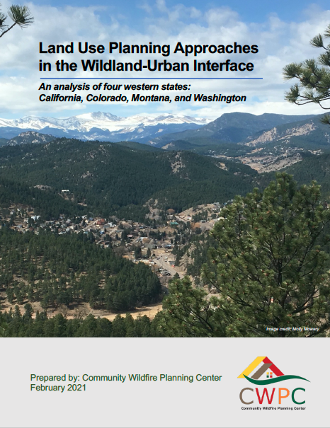
Land Use Planning Approaches in the Wildland-Urban Interface
CWPC conducted a four-state analysis of California, Colorado, Montana, and Washington to examine how each state’s land use planning framework addresses the WUI. The report aims to increase understanding of legislative and policy barriers and opportunities to reducing wildfire risk in communities through land use planning. Five overarching solutions focus on improving state-level hazard planning legislation, increasing capacity-building and learning opportunities, cross-pollinating wildfire best practices with other hazards, integrating land use planning and WUI expertise, and dedicating long-term resources to tackle these complex issues. CWPC thanks the Hewlett Foundation for their generous support of this research. Read the full report.